
Applications of levelling in surveying
WHAT IS LEVELLING? The art of determining relative altitudes of points on the surface of the earth of beneath the […]
Applications of levelling in surveying Read Post »
WHAT IS LEVELLING? The art of determining relative altitudes of points on the surface of the earth of beneath the […]
Applications of levelling in surveying Read Post »

Plane Surveying Plane surveying is a branch of surveying in which the surface of the earth is considered as plane
Difference Between Plane Surveying and Geodetic Surveying Read Post »

USES OF SURVEYING: For preparing the contour map to determine the best possible route and amount of earthwork required. For
10 uses of surveying Read Post »
WHAT IS LEVELLING? The art of determining relative altitudes of points on the surface of the earth of beneath the
Levelling | Principle, Purpose & Terms used levelling Read Post »
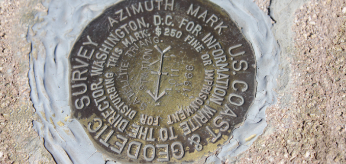
B.M. is a fixed reference point of known elevation. It may be of the following types. GTS Bench mark (
Types of Bench Marks Read Post »

Surveying is divided into two main categories:- Geodetic Survey Plane survey 1) Geodetic Survey:- When survey extends over a large
Classification of surveying Read Post »

DEFINITION: Surveying is the science and art of making all essential measurements to determine the relative position of points or
Definition, objective, principle & uses of surveying Read Post »
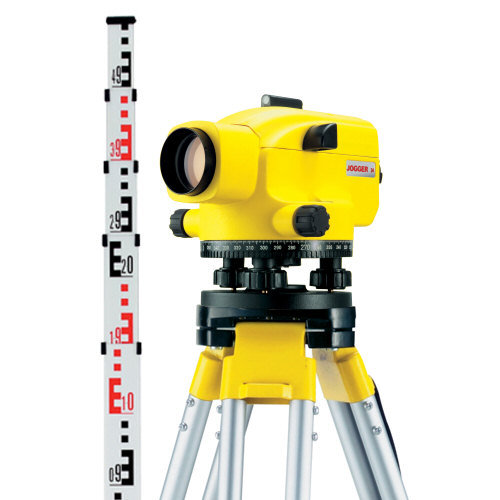
Digital levels use electronic image processing to evaluate the special bar-coded staff reading, This bar-coded pattern is converted into elevation
Digital Level Surveying Read Post »
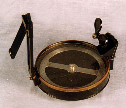
IMPORTANT DEFINITIONS: The Magnetic North (MN) Our Earth has a magnetic axis inclined to the line of longitude, which divides
Important Definitions in Prismatic Survey Read Post »
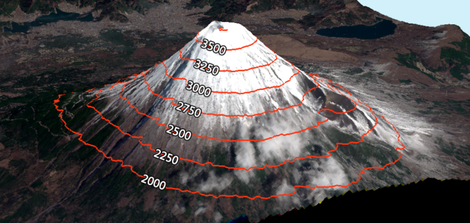
Contour line The intersection line joining level surface and ground surface is known as contour line or the line joining
What is Contour line, Contour map & contour interval? Read Post »