B.M. is a fixed reference point of known elevation. It may be of the following types.
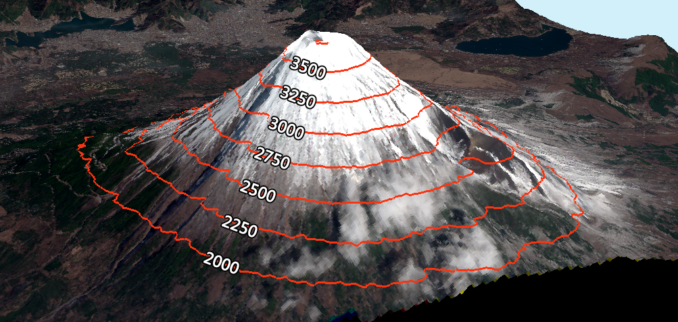
GTS Bench mark ( Geodetic Triangulation Survey):-These Bench marks are established by national agency like Survey of India. They are established with highest precision. Their position and elevation above MSL is given in a special catalogue known as GTS Maps ( 100 km. interval).
Fig:- GST Bench mark
Permanent Bench Mark:- They are fixed points of reference establish with reference to GTS Bench mark (10 km. interval).
Arbitrary Bench mark:- These are reference points whose elevations are arbitrarily assumed. In most of Engineering projects, the difference in elevation is more important than their reduced levels with reference to MSL as given in a special catalogue known as GTS Maps ( 100 Km. interval).
Temporary benchmark:-These are created by the surveyors in the field to mark the point in the field up to which the survey is completed. Then, it is easier to continue the survey from that point after large gap or on the next day of work.
fig: temporary bench mark
Subscribe & Watch Technical video’s related to civil engineering on our YouTube channel We Civil Engineers


Pingback: Have you seen these bird feet markings on bricks? Here's what they really are. | MW Technology
Pingback: Understanding Benchmarks in Civil Engineering | kyinbridges.com